
North Carolina is known for its varied people and places. While researching a post for our This Day in North Carolina history about Avery County, the last county in the Tar Heel State to be formed, we got curious: how did those boundaries evolve over time? Where did some of those unique names come from?
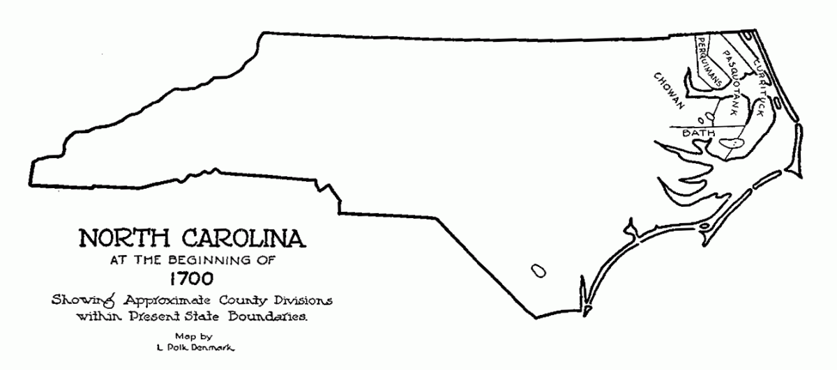
Luckily, there’s a wonderful book on the subject, David Leroy Corrbit’s 1950 work The Formation of North Carolina Counties, 1663-1943. The book, now in in sixth printing, discusses the boundary changes in painstaking detail and also features some neat drawings that visually show the evolution.
Inspired by the Digital Public Library of America’s amazing GIF IT UP contest that ended last month, we took the drawings in Corbitt’s book, originally done by L. Polk Denmark; added some highlights; and made a GIF of our own, illustrating the changes in the Tar Heel State’s internal boundaries.
Check it out below:
(See a Larger Version of This GIF)
If you’re interested in learning more about North Carolina geography, NCpedia has a host of great resources, including an overview of each county and the entireNorth Carolina Gazetteer online for free. Corbitt’s book, available for sale from our Historical Publications Section and at a local library near you, is great, too.
We’ve also added a new page on our website aggregating these and other great resources our agency produces related to North Carolina places all in one location. Happy exploring!