
North Carolina Places
North Carolina is known for its varied people and places. From the highest point east of the Mississippi at Mount Mitchell to the more than 300 miles of beaches found up and down the North Carolina coast, there's so much to explore. Our state's unique environment also showcases how history is shaped by geography, and geography is shaped by history.
To help you explore the history and science of our state's places, we've compiled resources related to North Carolina geography produced by our department below.


North Carolina Places By the Numbers
North Carolina Counties
The last was Avery County located along the Tennessee border, established in 1911.
Height in feet of Mount Mitchell
The Yancey County peak is the highest you'll find east of the Mississippi.
State Parks and Recreation Areas
North Carolina's state parks preserve the natural landmarks that make our state unique.
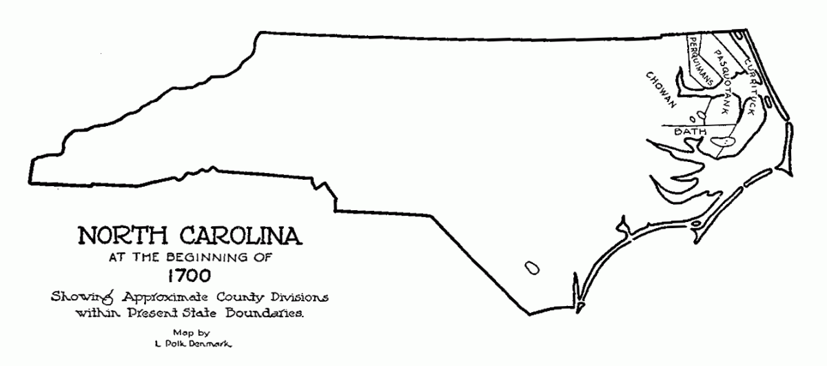
Watch the Formation of North Carolina's Counties
Inspired by the Digital Public Library of America’s amazing GIF IT UP contest held each fall, we took drawings by L. Polk Denmark that appeared in David Leroy Corbitt's book, The Formation of North Carolina Counties; added some highlights; and made a GIF illustrating the changes in the Tar Heel State’s internal boundaries.
Check it out below:
A version you can pause is available on YouTube.
Corbitt's book is available for sale from our Historical Publications Section and at a local library near you. The State Library also has a great table outlining North Carolina county formation on its website.